By Eunice Hilda A. Mensah
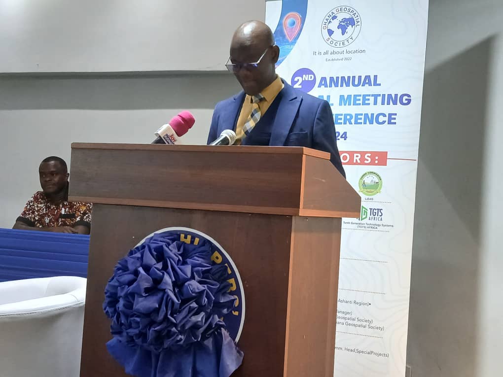
Accra, Nov. 30, GNA – Mr Michael Nyoagbe, the President, Geospatial Society of Ghana, has called on all to embrace and utilise Geospatial technology to enable access to resources and improved governance.
By unlocking Ghana’s potential, he said stakeholders must advocate policies that supported geospatial data sharing and open access, while investing in training programmes to equip the next generation of geospatial professionals.
He also asked all to embrace a mindset that saw challenges as opportunities for growth and innovation.
Mr Nyoagbe made the call at the Second Annual General meeting and Conference of the Ghana Geospatial Society in Accra on the theme: “Geospatial Excellence for Digital Growth: Fostering Innovation and Collaboration to Unlock Ghana’s Potential”.
In the area of rapid urbanisation, expanding infrastructure, and climate challenges, he said geospatial technologies had become indispensable tools for decision-making and development.
From mapping flood-prone areas to planning efficient transportation networks and supporting agriculture, Mr Nyoagbe said geospatial data enabled them to respond to today’s challenges with agility and foresight.

The President said technologies such as Geographic Information Systems, remote sensing and location-based analytics were reshaping industries from finance and logistics to agriculture and public health and called for the government and Geospatial professionals to nurture local talents to create homegrown solutions to address unique challenges.
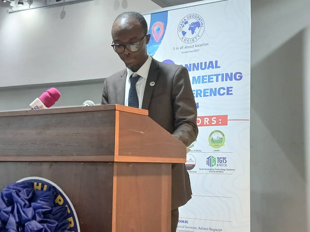
Mr Tony Ntiabo, the Chief Executive Officer, Tenth Generation Technology Systems Africa and a Charter from the Ghana Institution of Surveyors, addressing the conference as a keynote speaker, said Geospatial technology helped to manage and deliver effective resources, and make important decisions.
In agriculture, he said satellite imagery optimised crop yields and conserved water, enabled smart city management in urban planning, controlled illegal mining, and integrated digital frameworks and supply chain management to foster innovation and drive growth.
In disaster management, Mr Ntiabo said geospatial technology enabled early warning systems, rapid response, saved lives and minimised effects of disaster.
He reiterated the need to train more professionals in the field, saying their services were much valuable in all areas including medicine, infrastructure and simple basic social services.

Dr Benjamin Armah Quaye, Head of Special Projects, Lands Commission, who chaired the Meeting, said Geospatial technologies were the heart of transformation, urban planning, disaster response, environmental management and agricultural development among others.
He mentioned three key pillars to ensure progress of the profession and the nation comprising continuous innovation of the operations of the profession and collaboration with government, academia, development partners, and the private sector, adding: “I always say that if you want to go fast, go alone, but if you want to go far, go together”
Solutions from geospatial technology, he said ought to be sustainable and inclusive to the benefit of all.
Professor Prosper Laari, Vice President of Ghana Geospatial Society, said Ghana had much to unearth and reap if it developed the Geospatial industry, especially as all discussions now centred on digitalisation.
He said Geospatial technology was a pivotal drive of socio-economic development across the globe and Ghana stood at the forefront of it.
Geospatial technology refers to the use of digital tools and methods to collect, analyze, and interpret geographic data.
This technology combines geographic information systems (GIS), global positioning systems (GPS), and remote sensing to understand and visualize spatial relationships and patterns.
Some common examples of Geospatial Technology are Google Maps and other online mapping platforms, GPS navigation systems in vehicles, Satellite imagery and remote sensing, Geographic information systems (GIS) software, and Location-based services (LBS) and mobile apps.
GNA